• Home
  • Apps
  • About Us
  • Contact Us


Pennsylvania Flag Pennsylvania


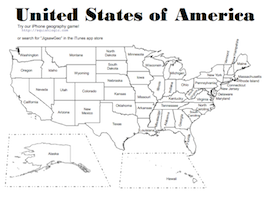
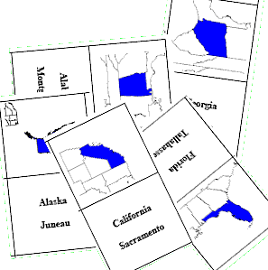
Pennsylvania Academic Standards for Geography

The full standard is available on the state website for the Pennsylvania Department of Education: Clear Standards.   This web page provides some activities to help meet some of the key ideas in Geography adopted in 2009. We only list the performance indicators for which we have helpful activities. See the standard for the full list of indicators.

Grade 3


7.1.3.B Identify and locate places and regions as defined by physical and human features.


Activities

  • Use our JigsawGeo iOS game with the United States map. The Easy level challenges them to place all 50 states in their correct positions in the lowest time. For children that cannot yet spell, the app includes a voice-over narrative that says the name of each state as they play. The easy level also helps them by slowly zooming in on the correct location for each state. Higher levels challenge them to find states by their capital, or by the state flag.
  • Print out our free  USA map.  It has multiple sheets to support various learning outcomes related to the geography of the United States. You may photocopy it freely to use in your class.
    • Use it for a quiz (have your students find Pennsylvania and a few other states)
    • Use it as a coloring page -- have your students color in  Pennsylvania and each state where they have a relative.

Activities

  • Use our JigsawGeo iOS game with the United States map. The Easy level challenges them to place all 50 states in their correct positions in the lowest time. For children that cannot yet spell, the app includes a voice-over narrative that says the name of each state as they play. The easy level also helps them by slowly zooming in on the correct location for each state. Higher levels challenge them to find states by their capital, or by the state flag.
  • Use our USA Fifty States Flash Cards to learn the name of each state along with its capital.
  • Print out our free  USA map.  It has multiple sheets to support various learning outcomes related to the geography of the United States. You may photocopy it freely to use in your class.
    • Hand out the labeled page as a study aid.
    • Use it for a quiz (have your students label each state properly).
    • Color in each state using color pencils to illustrate population or other characteristics (e.g., blue for low population through red for high population).  Wikipedia has a chart with the current population by state.