


|
California Content Standard for GeographyThe full standard is available on the state website for Content Standards . This page provides some activities to help meet the History–Social Science Content Standards for California Public Schools (adopted in 1998).Grade 3StandardsCalifornia Standard 3.1 Students describe the physical and human geography and use maps, tables, graphs, photo graphs, and charts to organize information about people, places, and environments in a spatial context.
Activities
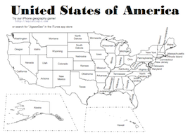
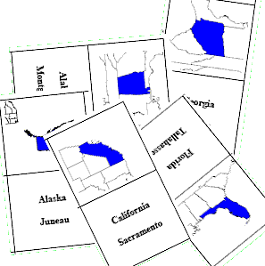
Grade 5StandardsCalifornia Standard 5.9 Students know the location of the current 50 states and the names of their capitals. Activities
|
|
