


|
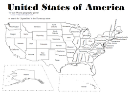
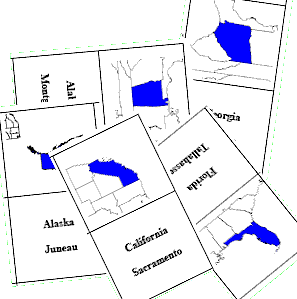
New York Learning Standards for Social Studies: GeographyThe full standard is available on the state website for New York Learning Standards for Social Studies. This page provides some activities to help meet some of the key ideas in Geography adopted in 1996. We only list the performance indicators for which we have helpful activities. See the standard for the full list of indicators.ElementaryStandardsGeography: Use a variety of intellectual skills to demonstrate their understanding of the geography of the interdependent world in which we live—local, national, and global—including the distribution of people, places, and environments over the Earth’s surface. Key Idea 1 Performance Indicator:
Activities
IntermediateStandardsGeography: Use a variety of intellectual skills to demonstrate their understanding of the geography of the interdependent world in which we live—local, national, and global—including the distribution of people, places, and environments over the Earth’s surface. Key Idea 1 Performance Indicator:
Key Idea 2 Performance Indicator:
Activities
|
|